
Find Essex County Neighbors by Block
Public sources can describe a block from several angles, but none is a complete roster of the people who live there. Begin with the Massachusetts Interactive Property Map to see parcels in the map extent and use Find Abutters for nearby lots. Then distinguish assessment owner, owner mailing address, Registry party, dated voter-list entry, and historical directory entry. The county's split Registry geography also matters: Andover, Lawrence, Methuen, and North Andover are Northern Essex, while the other municipalities are Southern Essex.
| Block source | What it shows about a block | Access route |
|---|---|---|
| MassGIS parcel map | Parcel locations, map context, selected parcel attributes, and nearby-lot orientation | Online map, address finder, and map-table tools |
| Municipal assessor record | Assessment owner label, situs, mailing fields, fiscal year, and parcel details | Municipal portal or assessor counter; statewide MassGIS view |
| Registry deed or plan | Recorded parties, legal description, prior reference, and plan context | Correct North or South Registry portal, terminal, copy order, or counter |
| Local voter list | Publicly releasable civic-status information on a dated local record | Request from the municipality; confidential fields remain withheld |
| Historical street directory | Printed household or address relationship for a particular edition | Salem Public Library collection and library research access |
A parcel line identifies a land-related record, not a present household. Read the source type and date before calling someone one of your Essex County neighbors.
MassGIS for Essex County Neighbors
The MassGIS MassMapper supplies layers, query and drawing tools, and print or save functions. The related Massachusetts Interactive Property Map provides address and place type-ahead, parcel popups, map filtering, a basemap gallery, and Find Abutters. Use those tools to orient an immediate block and to identify which parcels should be checked further. They are map and assessor-data tools, not a legal boundary decision.
The accessible Property Information Finder follows a simple City/Town, Street, Address Number sequence before Get Information. It can be a useful fallback when a map interface is difficult to use. Municipal vintages vary, so record the fiscal year and access date. A visual boundary is only a representation. Retrieve the Registry instrument or plan for the controlling land-record evidence, and use a surveyor for a boundary dispute.
The official MassMapper page below shows the mapping environment available for Essex County neighbor research.
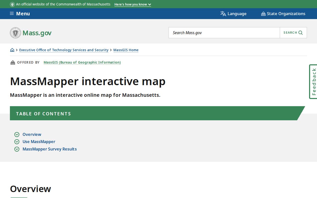
Use the map to form a list of parcels to verify, not as proof of the people currently associated with those lots.
Map an Essex County Neighbor Block
The block method is narrower than a whole-street search. It starts at one verified situs address, checks adjacent parcels, and confirms any land relationship in the Registry. Find Abutters can help identify nearby parcels, but an abutter is not necessarily a resident and a tax mailing address may be elsewhere. Preserve the parcel identifier, fiscal year, source date, and relationship at each handoff.
Address flow: verified street address → MassGIS parcel popup → nearby parcels or Find Abutters → municipal owner and situs fields → correct Registry deed or plan → clearly dated historical or civic source where a defined question remains.
At the Registry, capture the grantor, grantee, recording date, Book/Page or instrument number, legal description, plan reference, and prior-deed reference. Southern Essex has recorded-land images from 1640 and typed electronic indexes from 1951; Northern Essex has images from 1869 and indexes from 1967. Do not substitute one district's cutoff or search rules for the other. For the full chain along a named road, use the Essex County street directory rather than stretching a block method into a countywide conclusion.
Note: A plan can orient adjoining lots, but it should not be used to infer who occupies a parcel.
Essex County Neighbor Parcel Labels
MassGIS documents fields including SITE_ADDR, ADDR_NUM, FULL_STR, LOCATION, CITY, ZIP, OWNER1, OWN_ADDR, OWN_CITY, OWN_STATE, OWN_ZIP, fiscal year, last-sale data, Book/Page, zoning, year built, and units. SITE_ADDR and LOCATION refer to the parcel's physical setting. OWN_ADDR is the address where the tax bill is sent. OWNER1 is a municipal assessment label. Each gives a useful lead, but none alone proves who lives at the location.
For Salem, the assessors' office describes deed and ownership work, address changes, abutter lists, and inspection scheduling. Its FY26 map index has maps 1 through 52 for assessment purposes. An assessor map is therefore a strong orientation source but is not a legal survey. Keep property owner, mailing contact, situs, occupant, and business user in separately labeled columns whenever the records mention them.
The Salem FY26 assessor-map index appears below as one municipal example within Essex County.
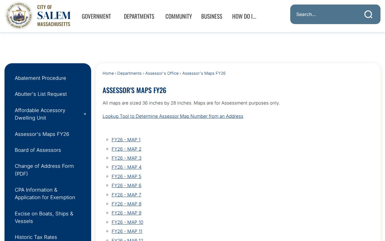
Match the map number and fiscal year with the parcel record before comparing it to a deed plan or an old street directory.
Essex County Neighborhood Associations
Community sources can add local context without serving as a resident roster. Salem's official neighborhood-association inventory includes Barnes Clark Wyman, Bridge Street Neck, Broad Street Park, Chestnut Street, Downtown, Federal, Greater Endicott, Mack Park, North Street Northfields, Salem Common, Salem Willows, South Salem, and Ward 4/Gallows Hill. A neighborhood name is a civic or historical label. It is not automatically a Registry district, ZIP, parcel, ward, or census boundary.
Bridge Street Neck
Listed in the City of Salem neighborhood-association inventory. Use the official inventory to identify the local group, then contact the organization directly for any public meeting or outreach information.
Salem Common
Appears in the same official association inventory. It is a community label and should not replace the legal street address or parcel reference.
South Salem
Also listed by the city. Treat a group name as a way to find local civic context, not evidence that a person belongs to the group.
The official Salem neighborhood-association list is shown here. The list identifies groups, not a public directory of individual members.
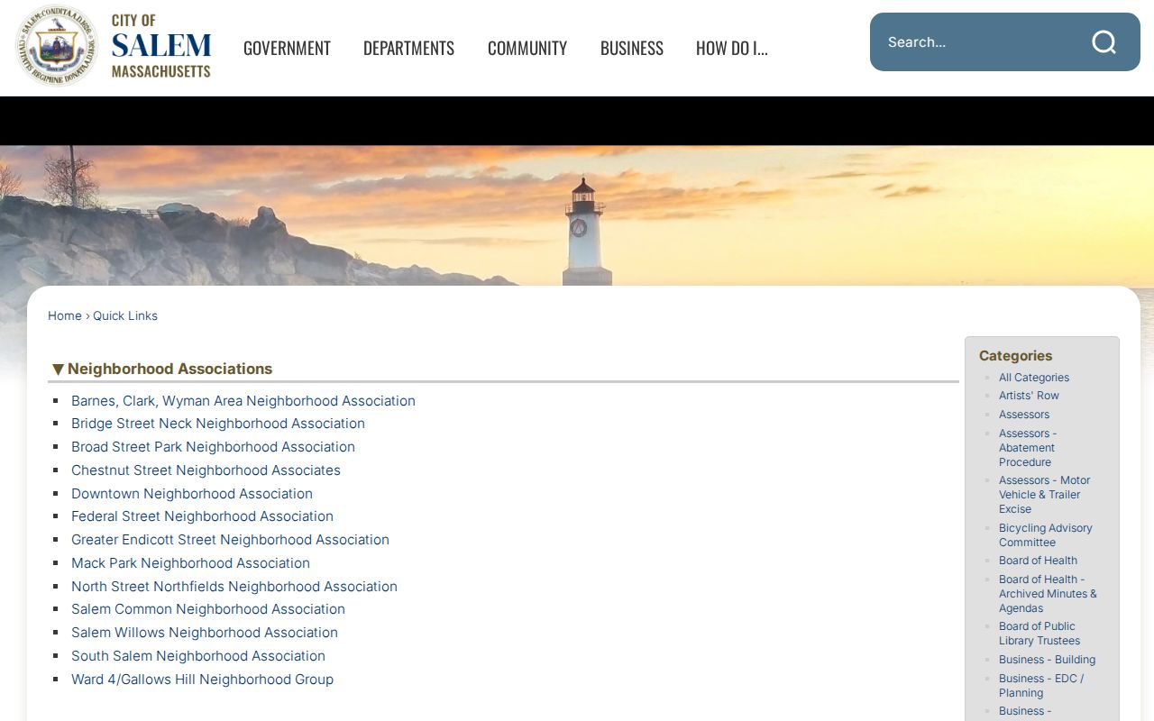
Use an association name to locate civic information or public events, then respect any membership or contact privacy rules the group sets.
Former Essex County Neighbors in Directories
For a historic block, the Salem Public Library's city-directory collection has Street & Householders' sections that place printed names and house numbers together for selected editions. The digitized runs span selected years from 1866 through 1946. They are snapshots, not a continuous countywide file. Search the street section, then check the name listing and compare at least one nearby edition. A match can represent a householder, boarder, office occupant, proprietor, or another printed role.
Historic property work can add maps and house-history records. Historic Salem's house-history database and binders collect references to deeds, atlases, Sanborn maps, plans, and directories. Sanborn sheets describe structures, materials, and fire-insurance context, but they do not prove ownership or occupancy. The March 1890 Salem set has 43 sheets and two skeleton maps. Keep the sheet year and number with any observation.
The 1915 Salem directory includes Neighborhood Nicknames, an unusual local-history clue. Keep that nickname distinct from the legal address, and record the edition because the 1899-1900 run is missing Beverly pages 497-546.
Essex County Neighbors Source Choices
Official sources expose a particular record relationship and usually show the custodian and date. Commercial neighbor tools may combine public and nonpublic-looking data into a single display, but the combination can obscure the difference between owner, former address, family member, or unrelated person. For a block question, the better practice is to preserve the original source, source date, and the narrow fact it supports.
| Official record path | Commercial neighbor category | Practical difference |
|---|---|---|
| Parcel, assessor, Registry, or local civic record | Combined neighborhood profile | Official paths show a named custodian and a defined record type |
| Dated directory image or map sheet | Undated address history display | An image lets the researcher preserve edition, page, and wording |
| Local request with redactions | Broad inferred association list | The official response makes withheld fields and date limits visible |
When sources conflict, do not average them. Retain the conflict, check a later or earlier source, and label an unresolved candidate as unresolved.
Essex County Neighbor Records Requests
Massachusetts makes a public local voter list available through each city or town, subject to withholding. Public fields can include name, address, party, date of birth, active or inactive status, voter ID, election participation, prior changes, mailing address, registration date, and inactivity date. Phone, email, veteran status, permanent-absentee status, information about minors, and confidential voter records are withheld. The state voter status search is intended for the individual voter and is not a public block-search tool.
For a local record that is not published online, send a written request to the municipal custodian or Records Access Officer under the Massachusetts Public Records Law. Identify the existing record, address or parcel, date range, preferred electronic format, and fee estimate request. State agencies generally have up to 15 business days to respond and municipalities up to 25, with possible extensions. A focused request is more useful than asking an office to create a new analysis.
Note: The statewide central voter registry is not public, so a municipal list must not be represented as a statewide file.
Privacy Limits for Essex County Neighbors
Some information should remain private even where parcel or deed records are open. The Massachusetts Address Confidentiality Program provides substitute addresses for eligible survivors of domestic violence, sexual assault, and stalking. Confidential voter registration can be based on a court order, shelter documentation, or a police affidavit. Shelter addresses are never public. Do not attempt to reconstruct protected locations by joining records or treating an absence from a list as an invitation to investigate.
Use a neighbor lookup only for lawful, personal, civic, family-history, property-history, or safety-aware purposes. Public records do not justify unwanted contact, intimidation, monitoring, or exposure of safety-sensitive information. A parcel owner, voter-list entry, and historic directory listing each describe a different relationship and must be kept that way.
Lawful use. Essex County neighbor research must respect protected addresses and privacy limits. Never use a public record trail to stalk, harass, intimidate, or harm anyone.