
Essex County ZIP Coverage
Essex County has postal associations in both the 018xx and 019xx ranges, but the county does not publish one legal ZIP-boundary record. The research index groups the delivery associations that need checking before a records search. It is deliberately cautious: postal place names can differ from the municipality printed on a deed, assessor record, court filing, or city directory. A ZIP code is useful for sorting an address, not for deciding which town office has the record.
| ZIP group | Primary association | Postal association | Verification note |
|---|---|---|---|
| 01810, 01812, 01899 | Andover | Andover and special associations | 01812 and 01899 need address verification. |
| 01830, 01831, 01832, 01835 | Haverhill | Haverhill delivery area | Delivery can cross municipal lines. |
| 01833, 01834 | Georgetown, Groveland | Georgetown and Groveland | Verify the street before choosing a town file. |
| 01840, 01841, 01842, 01843 | Lawrence | Lawrence delivery areas | Several delivery areas use this group. |
| 01844, 01845 | Methuen, North Andover | Methuen and North Andover | Confirm the street and municipality. |
| 01860, 01885 | Merrimac, West Boxford | Merrimac and West Boxford PO | A postal name is not a legal boundary. |
| 01901, 01902, 01903, 01904, 01905, 01910 | Lynn | Lynn and special associations | 01903 and 01910 have special or PO associations. |
| 01906, 01907, 01908 | Saugus, Swampscott, Nahant | North Shore delivery areas | Use the full street address. |
| 01913, 01915, 01921, 01922, 01923 | Amesbury, Beverly, Boxford, Byfield, Danvers | North Shore postal places | Verify both street and town. |
| 01929, 01930, 01931 | Essex, Gloucester | Essex and Gloucester | 01931 is a PO association. |
| 01936, 01937, 01938 | Hamilton, Hathorne, Ipswich | Hamilton-area postal places | 01937 is a PO association. |
| 01940, 01944, 01945 | Lynnfield, Manchester, Marblehead | North Shore delivery areas | Check the street. |
| 01949, 01950, 01951, 01952 | Middleton, Newburyport, Newbury, Salisbury | North Shore and Merrimack-area places | Check the street. |
| 01960, 01961, 01965, 01966 | Peabody, Rockport, Prides Crossing | Special postal associations | Do not infer the municipality from the label. |
| 01969, 01970, 01971 | Rowley, Salem | Rowley, Salem, Salem PO | 01971 is a PO association. |
| 01982, 01983, 01984, 01985 | South Hamilton, Topsfield, Wenham, West Newbury | North Shore postal places | Verify the street. |
| 05501 | Andover | Unique or organizational association | Do not assume ordinary residential delivery. |
The table is a research index rather than a county boundary layer. Keep a verified municipality and the complete address with every ZIP result. That prevents a delivery label from being mistaken for a city limit or a Registry district.
Essex County Postal Geography
The official MassGIS ZIP layer makes the central limitation plain: the Postal Service assigns ZIPs to delivery points and does not maintain an official polygon map. Map shapes are approximations. That is why a broad 018xx or 019xx pattern helps organize a search, while the street address and legal municipality control the next record choice.
The MassGIS ZIP-layer view is useful for comparing delivery geography with municipal context. It should not be used to settle a parcel line, identify a Registry district, or prove where a person lived. Southern and Northern Essex Registry routing follows the municipality, not the postal code on an envelope.
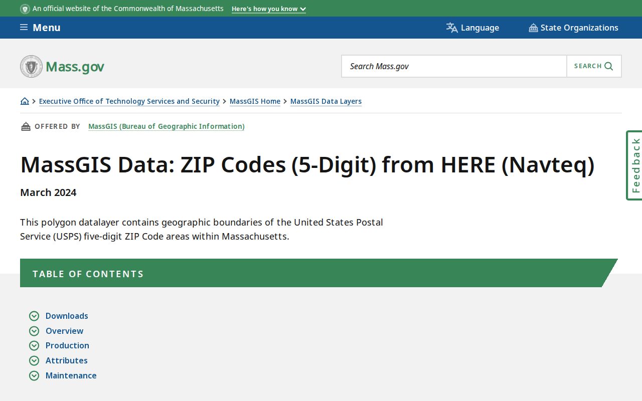
Use the layer to spot a possible delivery area, then verify the particular street through USPS before connecting it to a municipal or land-record search.
Note: A map polygon is an orientation aid, while the full address and the record custodian establish the useful geography.
Verify an Essex County ZIP
For an exact delivery check, use the official USPS ZIP Code Lookup with the street address. This is the sensible first stop when a family paper, old directory entry, or parcel record gives a street but the postal information is uncertain. The result verifies the delivery code for that address; it does not identify a resident or replace the town named in the underlying record.
| USPS lookup input | Use in an Essex search |
|---|---|
| Street address | Enter the address to obtain the delivery ZIP for that point. |
| Verified ZIP result | Record it beside the municipality, not instead of the municipality. |
| Town on source record | Use it to route municipal files and the correct Registry district. |
The USPS address form records the delivery check. A fresh result is especially important for special and PO-associated codes, or when an old source uses a postal place name that does not match the current municipal label.
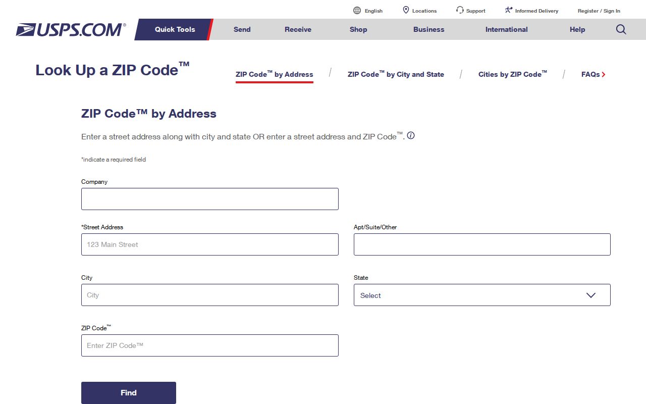
Once the address is verified, save the date of the check. Delivery information can clarify a search path without turning a postal result into a residence claim.
Essex County Parcel ZIP Fields
The MassGIS Property Tax Parcels documentation separates parcel location from an owner mailing address. Its municipal data can contain a situs address, ZIP, owner label, owner mailing city and state, owner mailing ZIP, assessed values, fiscal year, last-sale book and page, zoning, and building attributes. Each town supplies its own data, so the fiscal-year vintage can vary.
| MassGIS field | What it means |
|---|---|
| SITE_ADDR / FULL_STR | The parcel's physical or situs address. |
| ZIP | The parcel location ZIP when supplied by the municipality. |
| OWNER1 / OWN_ADDR | An assessment owner label and a separate tax-mailing address. |
| OWN_ZIP | The mailing ZIP, which can differ from the parcel ZIP. |
| LS_BOOK / LS_PAGE / FY | A last-sale cross-reference and the assessment-year context. |
SITE_ADDR and OWN_ADDR answer different questions. The first identifies the parcel location; the second is mailing information. Neither field proves occupancy, and a last-sale reference still needs confirmation in the proper Registry instrument.
The parcel-data source shows why both location and mailing fields should be preserved as separate, dated facts in a ZIP code directory search.
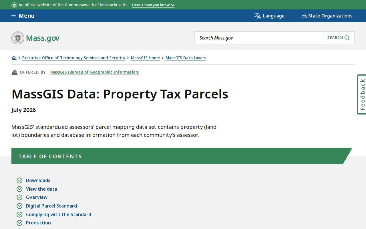
A parcel record can lead to the municipality, parcel ID, fiscal year, and Registry book or page. It does not eliminate the need to read the deed image.
Search Essex County by ZIP
A ZIP-only people search is underidentified in Essex County. Use the postal result to narrow an address, then move to the official record that is keyed to the question. The statewide property map is address and place oriented, while a local municipal voter list is a separate public-record route with withholding rules. The statewide voter-status form is intended for the individual voter, not a public directory.
- Verify the full street address through USPS and write down both the delivery ZIP and municipality.
- Open the Massachusetts Interactive Property Map by address or place, then capture the parcel ID and fiscal year if a parcel is returned.
- Use the municipality to choose the local assessor, clerk, or election office. A narrow request for an existing municipal voter record may be available subject to public fields and confidentiality rules.
- Route deed work by municipality: Andover, Lawrence, Methuen, and North Andover belong to Northern Essex; the other Essex municipalities belong to Southern Essex.
- Check the document image or local record for date, role, and address before treating it as evidence about a past household.
When the ZIP has narrowed an address to one town and street, use the Essex County street directory for the full address-keyed record chain.
Essex County Voter ZIP Checks
Massachusetts provides Find My Voter Registration Status for the voter who can supply identifying information. Its ZIP field is a five-digit residential entry, not a tool for browsing people in a delivery area. Public local voter lists come from the city or town, while the statewide central registry is not a public record under M.G.L. c. 51, § 47C.
| Observed field | Format or purpose | Limit |
|---|---|---|
| First Name | Individual-status search input | Not a browse field. |
| Last Name | Individual-status search input | Use with the voter’s own details. |
| Date of Birth | Month, day, and year | Required identifying context. |
| Residential ZIP | Five-digit ZIP | Does not establish a legal municipal boundary. |
| Acknowledgment | Agreement checkbox | Confirms the individual-use route. |
For historical or civic research, contact the relevant municipal election office with a narrow date and format request. Public fields can include name and address, but confidential voters, minors, phone and email details, and several other categories are withheld.
Essex County Registry Routing
ZIP does not choose a Registry. The Secretary of the Commonwealth's Registry district information places Andover, Lawrence, Methuen, and North Andover in Northern Essex. The rest of Essex County routes to Southern Essex. A search can appear empty simply because an accurate address was sent to the wrong land-record district.
Northern Essex reports images from 1869 to the present and electronic indexes from 1967 to the present. Southern Essex reports images from 1640 to the present, electronic indexes from 1951, and older index-book images. The Southern Registry also notes that its new search module launched April 15, 2026, while classic search remains under Searches. Save the municipality before the ZIP, and save the Registry district before relying on a deed result.
Note: A delivery area can cross town lines, but a deed must be searched in the district set by the property's municipality.
Essex County ZIP Code Limits
ZIPs are delivery geography, not city limits, parcel boundaries, voter districts, or proof of residence. Special, unique, and PO-associated codes make that distinction especially important in Essex County. Keep a postal result separate from the legal municipality, the Registry district, the parcel location, the owner mailing address, and any directory listing. Each is a different kind of fact.
- ZIP and ZIP+4
- A ZIP identifies a delivery area; ZIP+4 adds a more specific delivery segment, not a legal jurisdiction.
- PO-associated ZIP
- A postal association that may be used for post-office service and should not be assumed to describe ordinary residential delivery.
- Unique ZIP
- A code associated with a particular organization or special postal arrangement, such as the 05501 Andover association in the research index.
- Carrier route
- A delivery-route grouping used by postal operations. It is not a municipal, parcel, or residency boundary.
Essex County ZIP Directory Notes
A useful Essex County ZIP code directory entry keeps the street address, verified postal result, municipality, parcel or deed reference, source date, and custodian together. The research sequence is address first, then ZIP verification, then parcel and Registry work. That ordering prevents a postal label from being mistaken for a legal record location.
For old addresses, retain the printed town and year even if the current USPS result differs. A historical directory, census image, Registry instrument, or local archive may use the wording that was current at the time. Mark that wording as historical and compare it with the present address rather than silently merging the two.