
Trace an Essex County Street Directory
A street-by-street search begins by putting the address in its municipality. Essex County has no countywide assessor or one deed office. Municipal assessors supply parcel data, and the land-record district changes with the town. Andover, Lawrence, Methuen, and North Andover use Northern Essex in Lawrence. The remaining county municipalities use Southern Essex in Beverly and Salem. That routing check prevents an empty search in the wrong land district from looking like a missing record.
Use the address first. It gives the strongest way to connect a parcel, a Registry instrument, and a historical street listing without treating all of those records as proof of the same relationship. A deed or assessment field can identify an owner of record. A city-directory line may identify a past householder. A local voter list, where released, is a dated civic-status signal. None should be relabeled as proof that every named person lived at the address.
- Normalize the municipality, street name, primary number, ZIP, and any unit or side designation. Check the parcel in the Massachusetts Interactive Property Map or the municipal assessor source.
- Record the parcel identifier, fiscal year, owner label, site address, and any last-sale Book/Page reference. Keep the site address and the tax mailing address as separate fields.
- Open the proper Registry district and retrieve the current instrument, then follow each prior-deed reference as a dated deed chain. Inspect the image rather than relying on the index line alone.
- For a defined civic question, request a dated public voter list from the city or town election office. The statewide status tool is for the individual voter, not a public street directory.
- For an older household question, use the Street & Householders' section as the local reverse-directory layer and compare another edition before drawing a conclusion.
Note: Record the access date and source date beside every address result, because Registry interfaces and municipal parcel vintages can change.
Southern Essex Street Search Rules
The Southern Essex Registry search is the most detailed street-search interface documented for this county. Its recorded-land form accepts a date range, party name, grantor or grantee direction, town, street name, street number, document type, and Book/Page. Street search data begins May 31, 1899 and is limited to deeds and conveyance documents. Southern Essex also reports recorded-land images from 1640 forward, electronic indexes from 1951 forward, and older index-book images that must be browsed closely.
| Southern Essex field | How to enter it | Street-directory use |
|---|---|---|
| Town | Select the municipality | Routes the address to the correct local place |
| Street Name | Enter only the name, without Street, Avenue, Drive, or Lane | Finds recorded street references |
| Street # | Use the primary number, such as 11 rather than 11-13 or 11A | Handles address ranges and suffixes |
| Grantor / Grantee | Select one direction or both | Separates transferor from recipient |
| Book / Page | Enter both Registry references | Opens the cited instrument directly |
The Registry cautions that its search data is informational and that the written record must be checked for title accuracy. Its April 2026 search module is new, while classic search remains under Searches. When an older hit is likely, use the 1640-1799, 1800-1854, 1855-1950, 1951-1963, or 1964-1978 index-book ranges and inspect nearby image pages.
See the official Southern Essex search screen below. It shows the street-oriented controls used for this Essex County street directory route.
Town, street name, primary number, and the deed image together provide a more reliable address trail than a name-only match.
Essex County Parcels by Address
The Massachusetts Interactive Property Map is a statewide parcel viewer with address and place lookup, parcel popups, a map table, extent filtering, basemaps, printing, and Find Abutters. The accessible Property Information Finder uses City/Town, Street, and Address Number in that order. It is useful for getting a street address onto the right parcel before opening a Registry record. It is not an owner-name directory and does not settle a legal boundary question.
Municipal submissions to MassGIS can include OWNER1, SITE_ADDR, ADDR_NUM, FULL_STR, LOCATION, CITY, ZIP, OWN_ADDR, OWN_CITY, OWN_ZIP, total value, fiscal year, last-sale fields, Book/Page, zoning, year built, area, and units. Parcel boundaries are representations. The deed and Registry instrument control the land-record question, and a surveyor controls a boundary dispute.
| MassGIS finder field | Input or result use |
|---|---|
| City/Town | Select the municipality before entering a street |
| Street | Select the address street for the municipality |
| Address Number | Select the primary street number, then choose Get Information |
| Parcel popup or map table | Review parcel context, owner and address fields, fiscal-year values, and any Book/Page lead |
- Parcel
- A mapped assessment unit used to organize local property data. It is a useful join point, not proof of every person connected to the address.
- Situs address
- The physical location of the parcel, commonly stored in SITE_ADDR or related address fields.
- Owner mailing address
- The address for tax correspondence. It can differ from the situs and does not establish occupancy.
- Plat or plan
- A recorded map or survey-related drawing. It can orient adjacent lots, but the instrument and survey control what it proves.
- Criss-cross directory
- A reverse directory arranged from street and number toward a printed name. Salem's Street & Householders' sections provide the relevant local historical layer.
Northern Essex Street Directory Coverage
For Andover, Lawrence, Methuen, and North Andover, move to the Northern Essex Registry. It reports document images from 1869 to the present and recorded-land indexes from 1967 to the present. Plan indexes and plan images are complete to the present. Land Court document images and certificates run from inception to the present, but the Land Court name index is incomplete. Those different cutoffs matter when an address trail crosses an older deed or a Land Court reference.
Northern Essex offers on-site public computer terminals, prints and copy orders, free notary service, bilingual assistance, and help by phone. Its Lawrence office is open weekdays from 8:00 a.m. to 4:30 p.m., with recording ending at 4:00 p.m. The live field list was not captured in the research, so use its official search interface or the counter rather than assuming it uses the Southern Essex field rules.
The Northern Essex Registry home is pictured here. It is the correct starting point for the county's four northern-district municipalities.
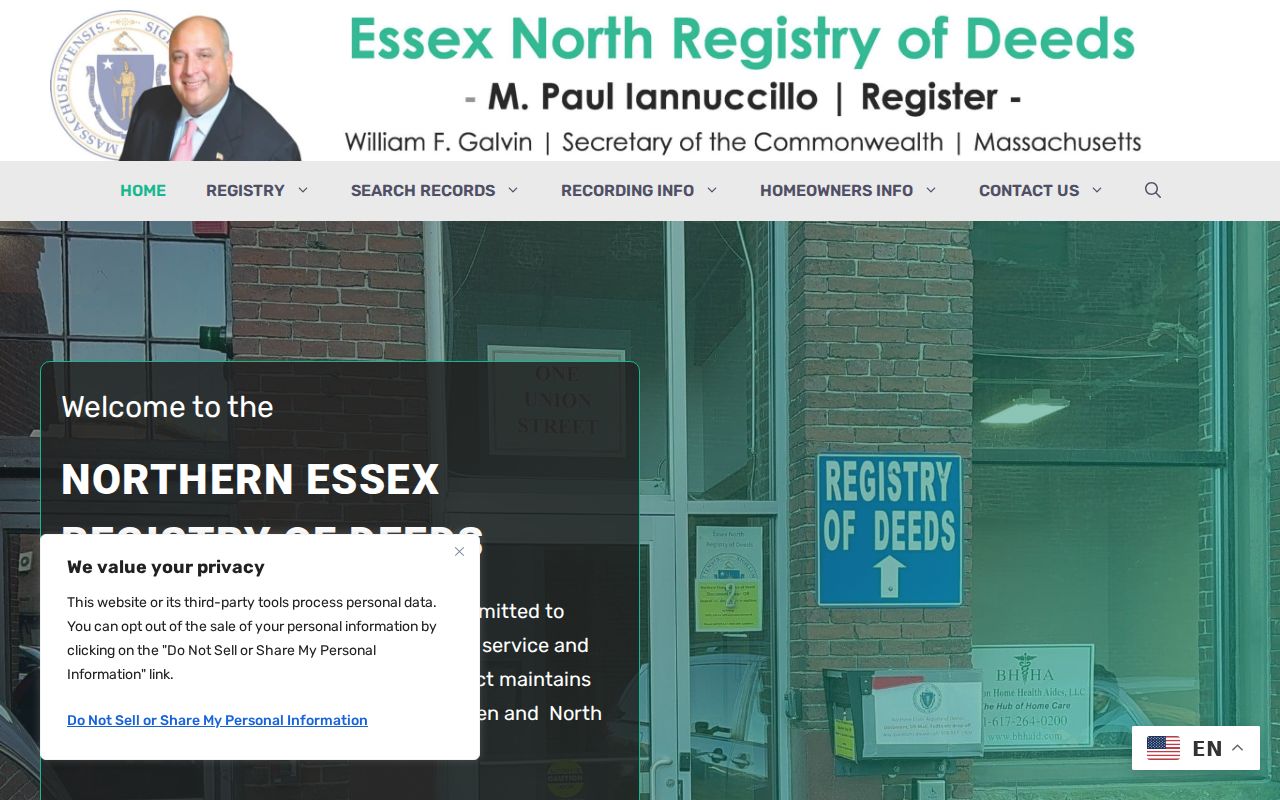
Checking district coverage before a name or address search avoids treating an empty result as a countywide answer.
Essex County Street Records Compared
Address-keyed records answer separate questions. The cleanest street-directory work keeps the custodian, source date, role, and access route next to each result. A municipality may provide a local assessor portal or counter record, while MassGIS supplies a statewide view of municipal submissions. Deeds, plans, and atlases belong at the Registry. Voter-list access is handled locally, subject to withheld fields and confidential registrations.
| Address record | What it can show | Essex access path |
|---|---|---|
| Municipal assessor and MassGIS parcel data | Assessment owner label, situs, mailing fields, fiscal year, and parcel references | Municipal portal or counter; MassGIS map and address-only finder |
| Registry deed, plan, or atlas | Parties, recording data, legal description, prior reference, and map reference | Correct North or South portal; public terminal; copy or certified-copy route |
| Local voter list | Publicly releasable civic-status fields on a dated local list | Municipal election office request; confidential fields withheld |
| Street & Householders' section | Printed historical name and house-number relationship | Salem Public Library digital files; inspect the edition and pages |
| Permit or inspection material | Municipal work or code-record context where released | Municipal building or inspection department, portal, counter, or request |
A small address mismatch can be meaningful. Unit qualifiers, rear or side notation, spelling shifts, altered street numbers, and a mailing address that is not the situs all need a note rather than a silent merge.
Essex County Street Directory Labels Matter
A common mistake is to read a deed grantee, assessor OWNER1 field, and owner mailing address as the same fact. They are not. OWNER1 is the assessment label supplied by the municipality. OWN_ADDR and related fields are tax-mailing data. SITE_ADDR and LOCATION identify the property place. The difference is especially important with trusts, corporations, tax-service addresses, and owners who receive tax correspondence elsewhere.
MassGIS attributes such as LS_DATE, LS_PRICE, LS_BOOK, and LS_PAGE are leads into Registry work. Confirm them with the image. Likewise, a homestead or domicile-based exemption can be an owner-occupancy clue, but it cannot establish every member of a present household. This distinction keeps a street directory from overstating what a public field proves.
Historic Essex County Street Listings
The Salem Public Library's digitized Salem City Directories collection has selected runs from 1866 through 1946, not a continuous countywide roll. Its Street & Householders' Directory is the most useful layer when the question begins at an old address. It should be read with the edition date, the exact printed wording, and nearby entries. A line might identify a householder, boarder, office occupant, proprietor, or subscriber rather than a person who continuously lived there.
The 1931 Street & Householders' material includes a complete street and avenue guide. The 1915 edition has Neighborhood Nicknames, which can help local-history research but should stay separate from a legal address. The 1899-1900 run is missing Beverly pages 497-546. Compare a prior or later edition and preserve terms such as boarder, widow, proprietor, agent, or occupant as printed. For the collection details and household-reading method, use the Essex County city directories.
Plans and Permits Along Essex County Streets
Plans, atlases, and Sanborn maps add orientation to a street address. Southern Essex reports plans, images, and indexes from 1741 forward. Its plan search can use a certificate plan number, condominium information, owner, street, surveyor, town, or local type. Atlas search uses a town and atlas selector, with an Essex County option where the town has no atlas. These visual sources can help place lots and street transitions, but they do not establish who occupied a building.
Municipal permit and inspection records are another address-based channel. They are not countywide. For Salem, Inspectional Services provides an online permit route and handles building and zoning functions; other municipalities keep their own channels. Ask the local department for a record type, address, and date range rather than assuming a statewide index exists.
The Salem Inspectional Services page is shown below as an example of a municipal address-record channel, not an Essex County portal.
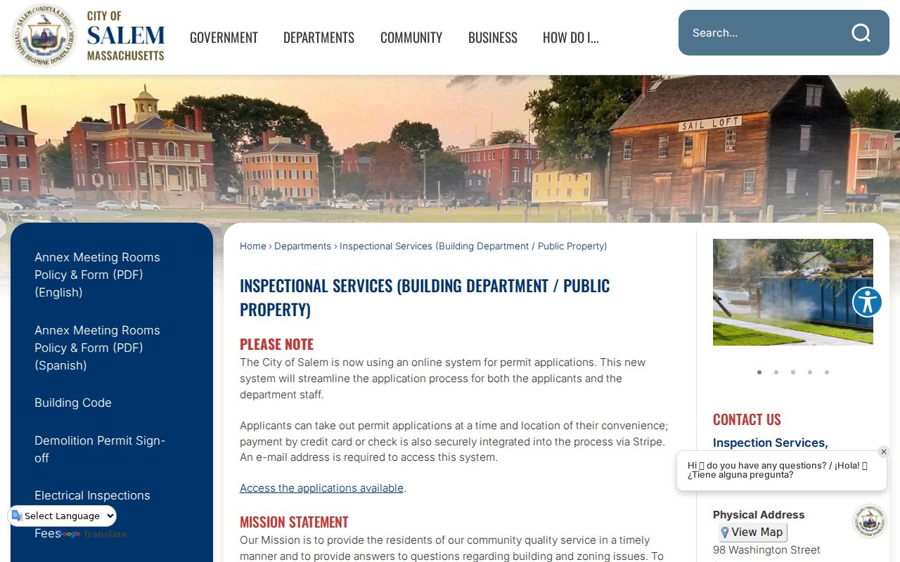
For historic building context, preserve the plan or map year and sheet reference, then verify names through the dated record that actually lists them.
Essex County Street Directory Access Routes
Online access is only one route. Southern Essex offers its portal, public research terminals, phone assistance at 978-542-1704 or 978-542-1700, and Registry copies. Northern Essex provides its portal, public terminals, prints and copy orders, bilingual help, and telephone assistance at 978-557-1900. Confirm copy and certification fees with the Registry before ordering because the research did not capture a complete fee table for each district.
For municipal parcel, permit, or voter material, contact the city or town that holds the record. A narrow request should name the address or parcel, record type, date range, and requested electronic format. Massachusetts Public Records Law requests under M.G.L. c. 66, § 10 go to the custodian or Records Access Officer. The state response target is up to 15 business days and the municipal target is up to 25 business days, with possible extensions. Ask for the reason for any redaction and retain the response date.
Note: A city or town source should never be presented as if it covers all Essex County addresses.
Privacy Boundaries for Essex County Streets
A street directory cannot reveal every household member or protected address. Massachusetts withholds confidential voter records and information about minors from public voter access. The statewide voter registry is not a public record, and the individual status search requires identifying fields and an acknowledgment. The Address Confidentiality Program provides a substitute address for eligible survivors, while confidential voter status can arise through a court order, shelter documentation, or police affidavit. Do not try to rebuild a protected address by combining public records.
Use public records for personal, civic, property-history, family-history, or fraud-avoidance questions with a defined source and date. Avoid surveillance, unwanted contact, intimidation, or exposure of safety-sensitive information. Owner, occupant, mailing, directory, and voter relationships should stay distinct even when the same address appears more than once.
Lawful use. Essex County street records support lawful personal and historical research, not harassment or efforts to expose protected residents. Massachusetts law prohibits stalking and related harmful conduct.